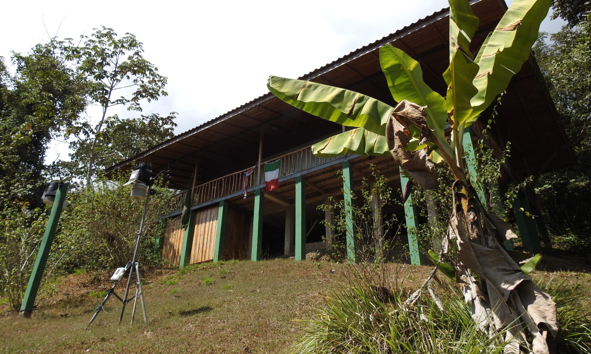


June 2026 at the Italy–Costa Rica Biological and Meteorological Station: warmer, drier, with the first signs of El Niño
June 2026 showed several interesting features at the Italy–Costa Rica Biological and Meteorological Station “Karen Mogensen”, confirming the importance of continuous climate monitoring on the Nicoya Peninsula. Although it was fully within the rainy season, the month was overall warmer and slightly drier than June 2025, with rainfall concentrated in a few particularly intense events.
Temperatures above last year’s average
The average minimum temperature for the month was 22.0 °C, almost identical to that recorded in 2025 (22.3 °C). The most evident difference concerned the maximum temperatures, which averaged 31.2 °C, a full 1.6 °C higher than in June 2025.
The monthly mean temperature was also approximately 0.6 °C higher, indicating a warming mainly driven by the hottest hours of the day.
The hottest day was June 1, when the maximum temperature reached 35.1 °C, the highest value of the entire month. In contrast, June 7 was the coolest day, when an especially intense weather disturbance limited the maximum temperature to 24.8 °C.
Minimum temperatures ranged between 20.4 °C and 23.5 °C, confirming a warm tropical climate without excessive nighttime heat.
Abundant rainfall, but highly concentrated
A total of 264.8 mm of rainfall was recorded during the month, compared with 312.2 mm in June of last year, about 15% less.
However, this was by no means a dry season. Rainfall occurred on 21 days, but most of it fell during only a few particularly intense events.
The most significant rainfall events were:
- June 7: 83.4 mm
- June 16: 66.6 mm
- June 5: 20.2 mm
- June 13: 20.2 mm
After June 20, conditions changed markedly: only 6.2 mm of rain fell during the entire last third of the month, highlighting a much drier period than observed during the same time in 2025.
A different June compared with 2025
The comparison with last year reveals several interesting differences.
June 2025 was characterized by more uniform temperatures and rainfall distributed throughout the month, culminating in a particularly wet final third.
In contrast, June 2026 showed:
- significantly higher daytime maximum temperatures;
- a greater day-to-night temperature range;
- rainfall concentrated in a few intense events;
- a much drier second half of the month.
A possible El Niño effect?
It is still too early to draw definitive conclusions, but the weather pattern observed during June appears consistent with the effects that El Niño often produces along the Pacific coast of Central America.
During El Niño episodes, it is common to observe:
- higher daytime temperatures;
- longer dry intervals, even during the rainy season;
- less frequent, but sometimes more intense, rainfall events.
June 2026 displayed several of these characteristics: a warmer month than the previous year, rainfall concentrated in a few events, and a marked reduction in precipitation during the final part of the month.
Naturally, a single month is not sufficient to attribute these anomalies exclusively to El Niño. It will be essential to monitor the evolution of the coming months to determine whether this pattern simply reflects normal seasonal variability or marks the beginning of a more persistent climate signal.
The systematic collection of data at the Italy–Costa Rica Biological and Meteorological Station “Karen Mogensen” continues with precisely this objective: to document the long-term evolution of the tropical climate, contributing to scientific research and to a better understanding of climate change in an area of extraordinary natural value.